Calhoun, Chipola, and the Altha Trail
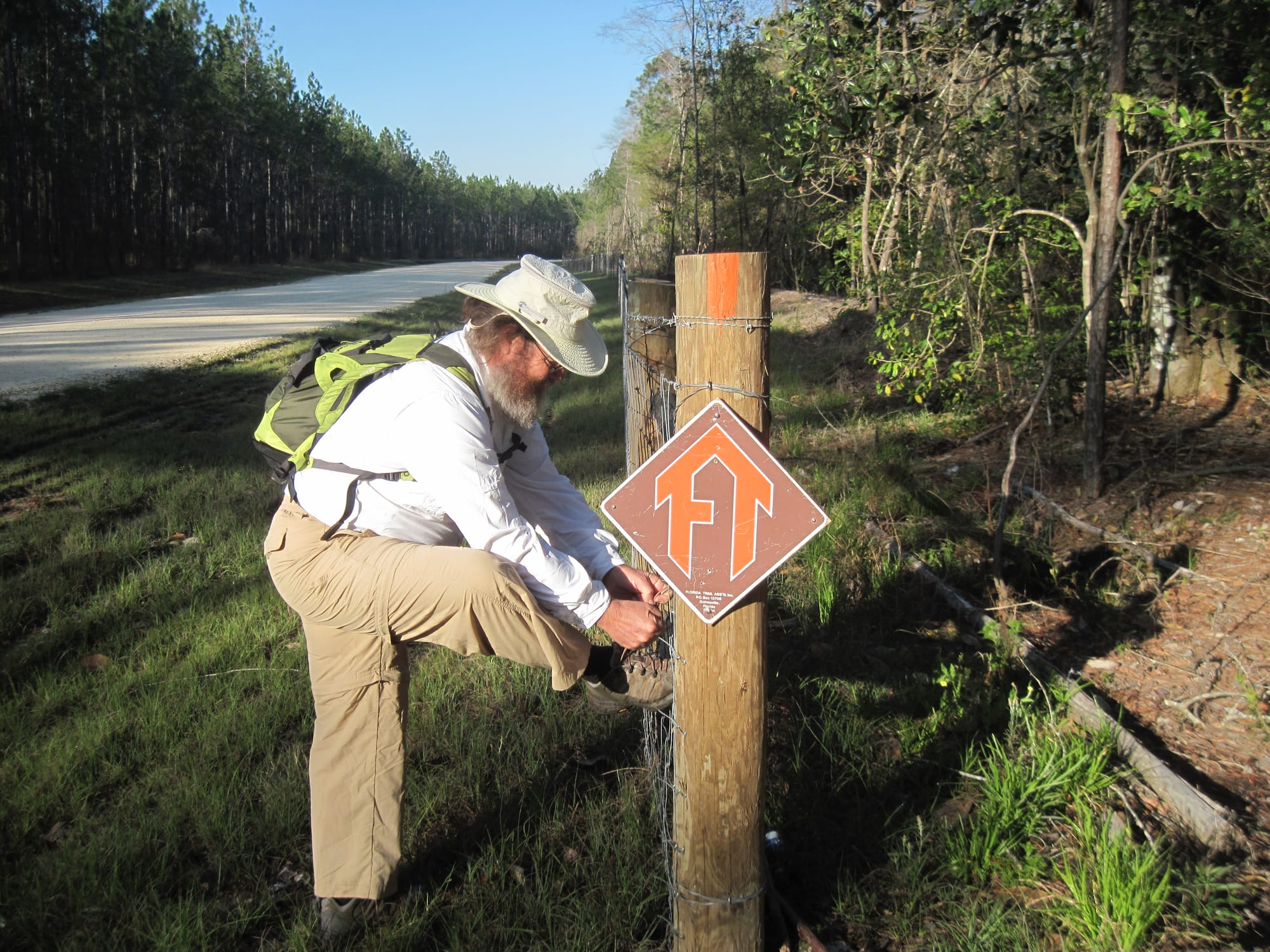
About a decade ago, I was in Blountstown for the grand opening of the brand-new Blountstown Greenway, a project that, it seemed, the whole town rallied around. They showed up in droves for the grand opening to celebrate the first-ever public pathway in Calhoun County, one of Florida’s more rural spots about an hour west of Tallahassee on the west side of the Apalachicola River.
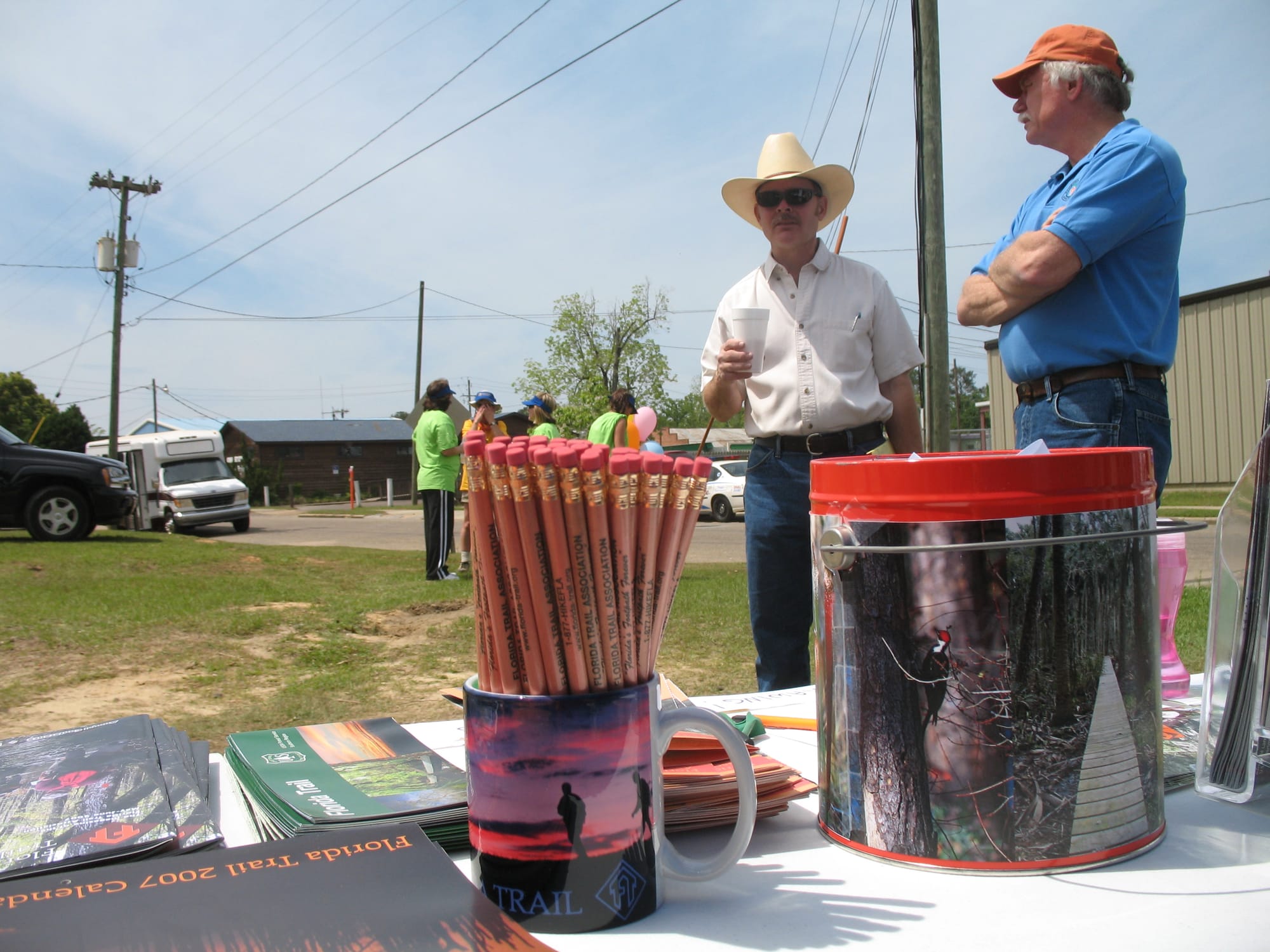


At the ribbon cutting for the Blountstown Greenway
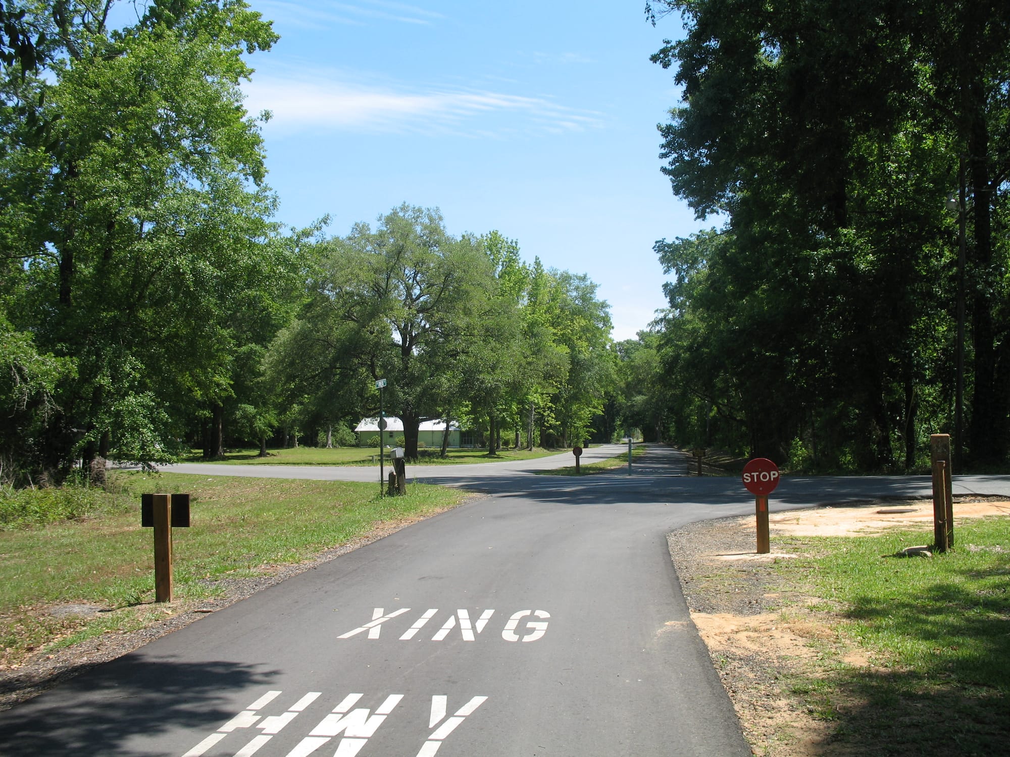
It was paved, of course, which makes it wonderful for bicyclists and urban walkers, and indeed, it goes right through backyards in town, so people make constant use of it. The Florida Trail utilizes it for a short segment right through downtown, where the path is well-shaded in the floodplain of a creek.
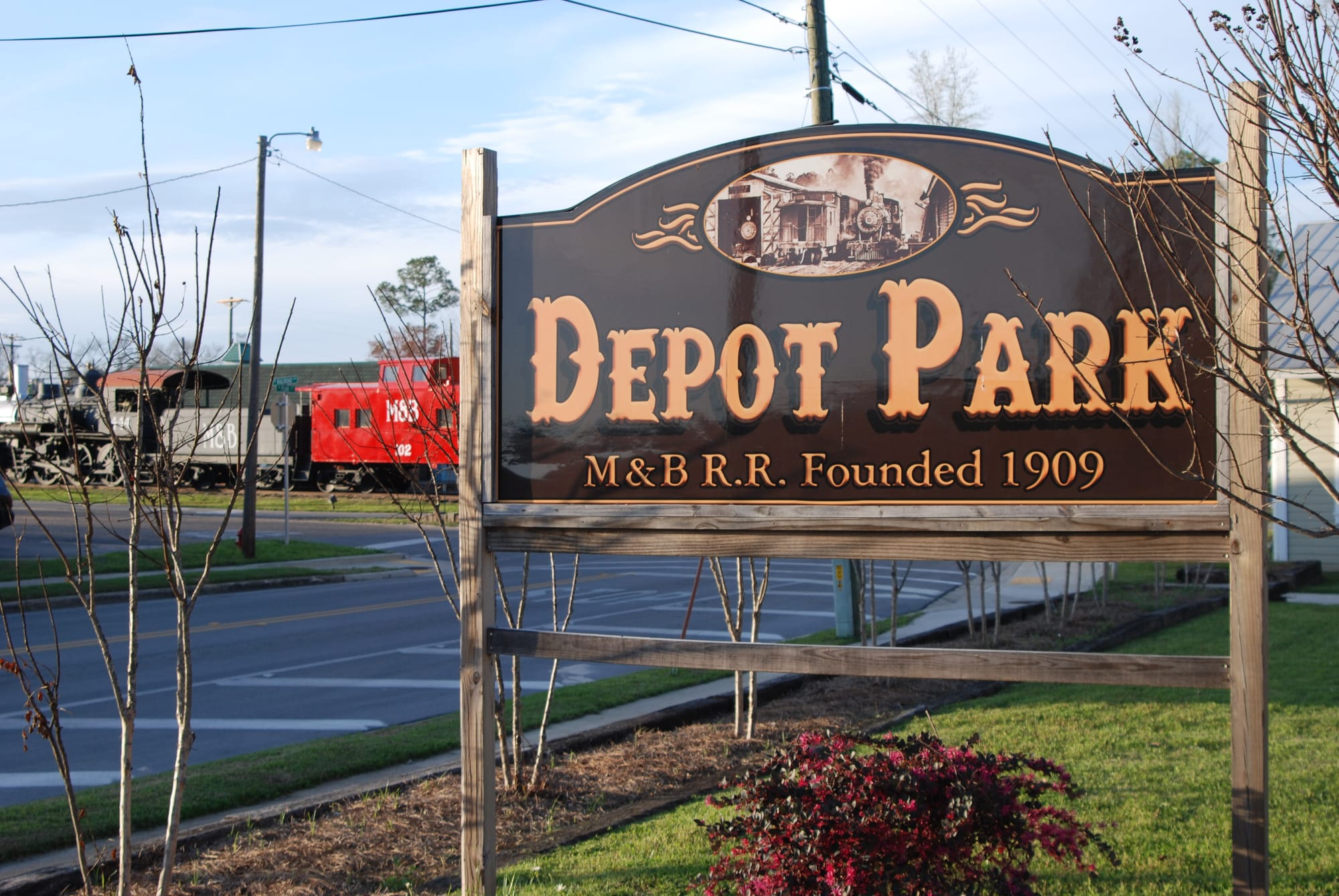
Following an old railroad line, it leads you right past a beautiful steam engine on display in downtown Blountstown. But this trail was it as far as hiking went in Calhoun County. Except for the pretty little trail that Elam Stoltzfus had created through the woods from his home to his mailbox, but it was on private property and didn’t count.
You can imagine my delight, then, when earlier this year I was reading a thru-hikers blog that mentioned “browned out blazes along JP Peacock Road.” That could only mean one thing: the route of the Florida Trail had changed, and perhaps for the better! I immediately got in touch with Ron Peterson of the Panhandle Chapter to find out. And he told me about the Altha Trail.
On our ramble to the Panhandle Trace, John and I stopped to hike the Altha Trail. It has quite a few major points going for it:
- It’s a footpath through the woods. No pavement here!
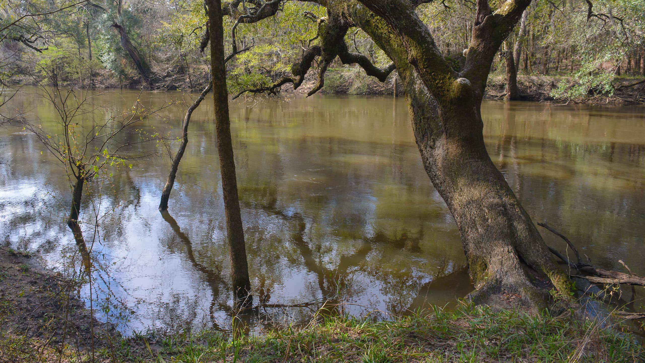
- It follows the scenic Chipola River and its tributaries for most of its length
- We had great birding AND wildlife sightings along the trail
- The hike eliminates 6 miles or so of roadwalk on a long roadwalk section
- It has a couple of backpacker campsites, good for overnighters AND for long distance hikers to break up the long roadwalk from Blountstown to the Scott Road Trailhead at Econfina Creek WMA
- It showcases the famous “Look and Tremble” Rapids of the Chipola River
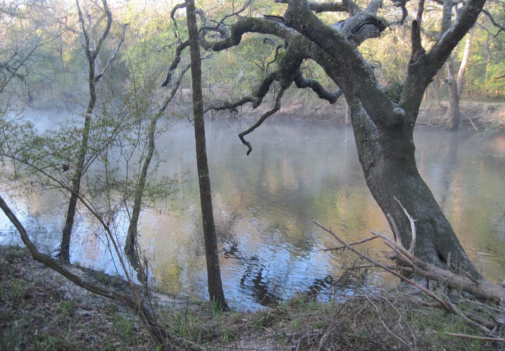
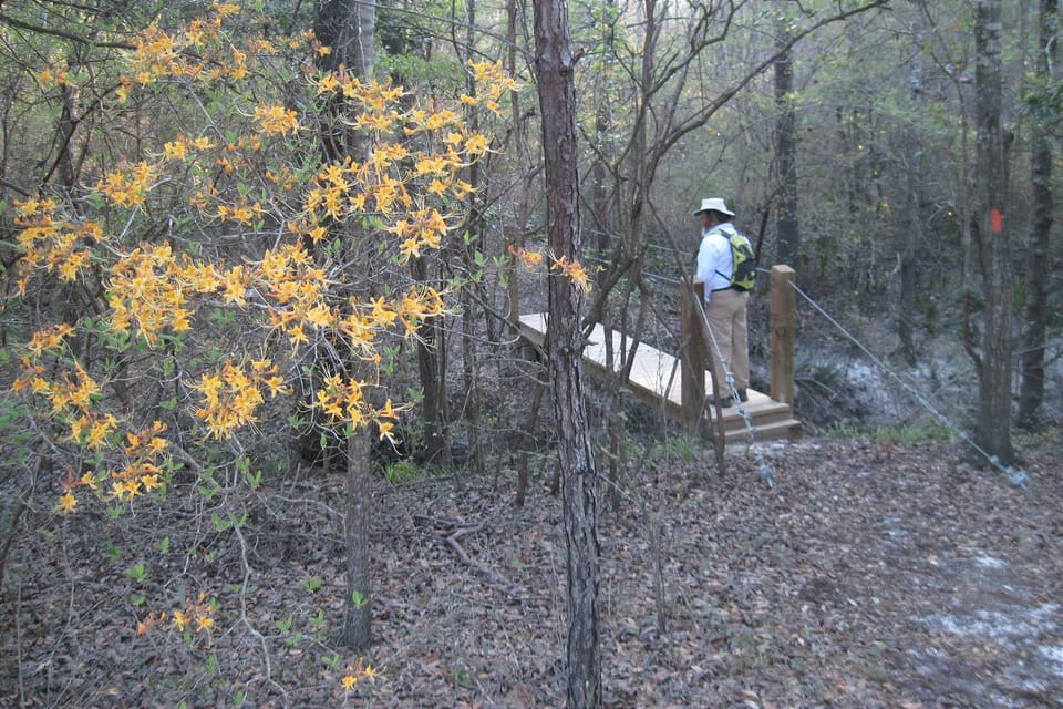
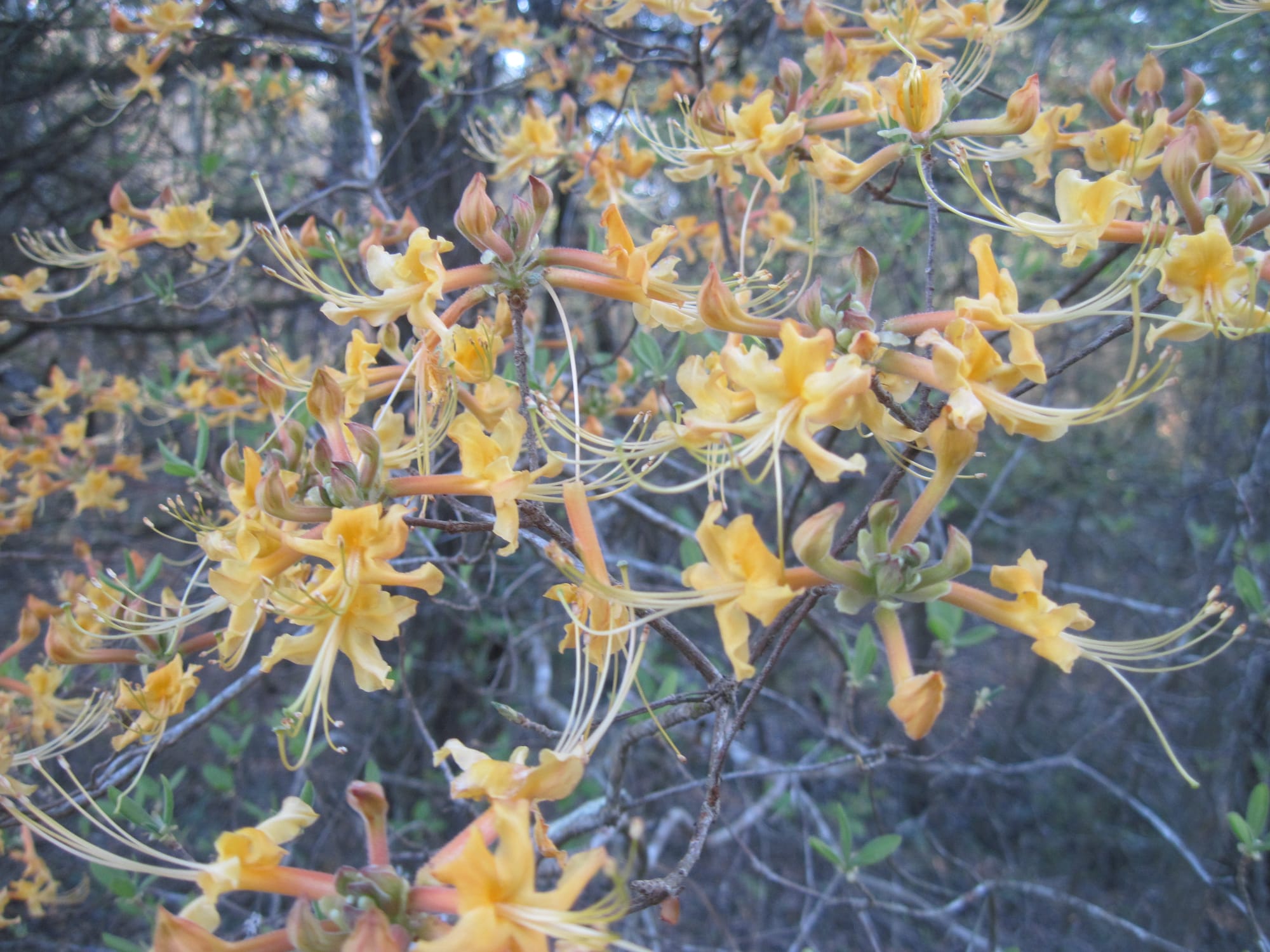
We did an out and back hike from the northern trailhead of the segment. At first the trail followed an old forest road, but it gradually became a narrow footpath snaking along the bluffs above the river’s edge. The rapids, unfortunately, were buried by the flood-stage waters, so we didn’t see them. But the woods were full of fragrant wild azalea and patches of flame azalea, and the trail follows the burble of river and stream for much of its length.
The round-trip to the southern trailhead (no parking, just a roadside sign in an Altha neighborhood) and back was roughly 3.7 miles, and the rapids themselves are about 1 mile south of the northern trailhead.

Member discussion