
Big O 2007, Day Eight: Torrey Island
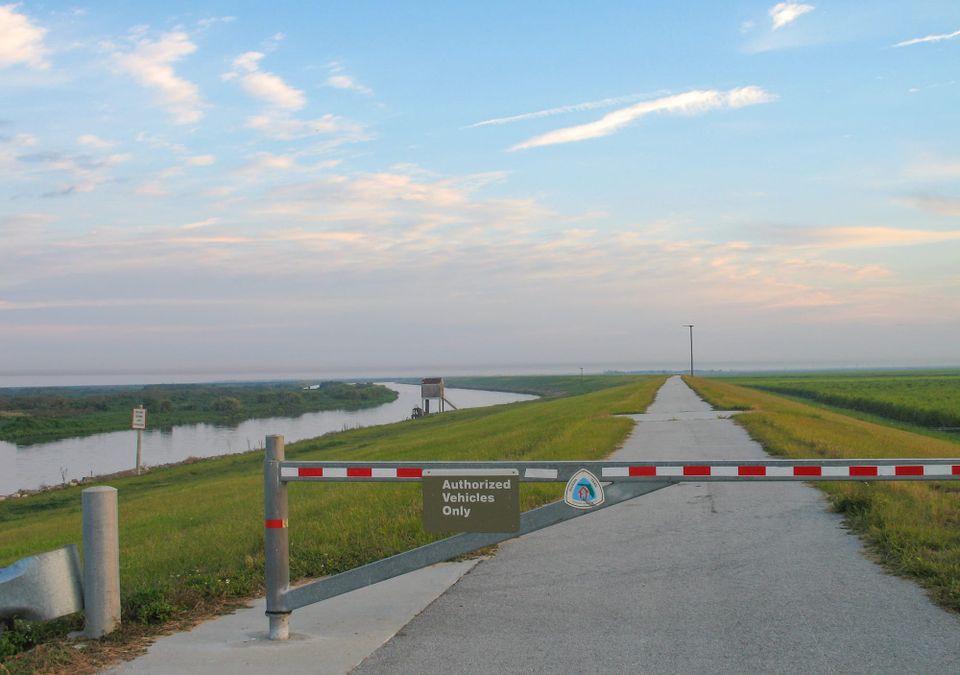
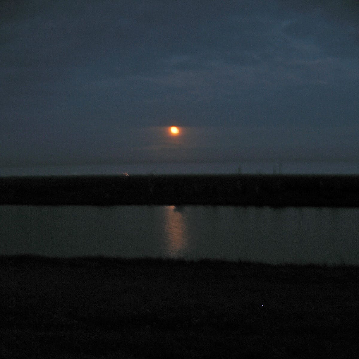
SATURDAY NOV 24 - A walk to Torrey Island is in order. Ginny joins me this morning, and we leave before daybreak. This despite my hike the night before, an after-dark foray in which a dozen of us watched moonlight play across the Rim Canal and illuminate the royal palms of Ritta Island as we strolled down the paved path paralleling US 27 from John Stretch Park to South Bay. It took 2.5 hours and I slept like the dead before arising seven hours later to hike again.
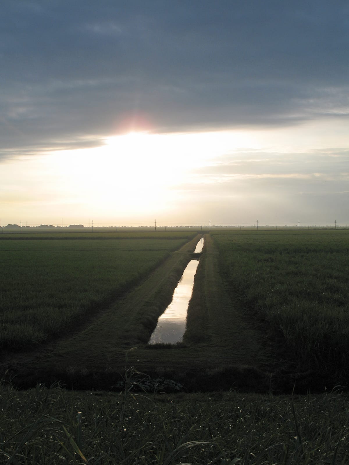
In this stretch, we stand well above the sugar cane, but it is not until we return along the same path that we hear the flutter of ten thousand wings and see masses of small songbirds rise and fall like a blanket atop the cane, undulating from point to point. Somewhere out there are the Chosen Mounds, long-forgotten burial sites of the Calusa, erased by agriculture and time and plunder.
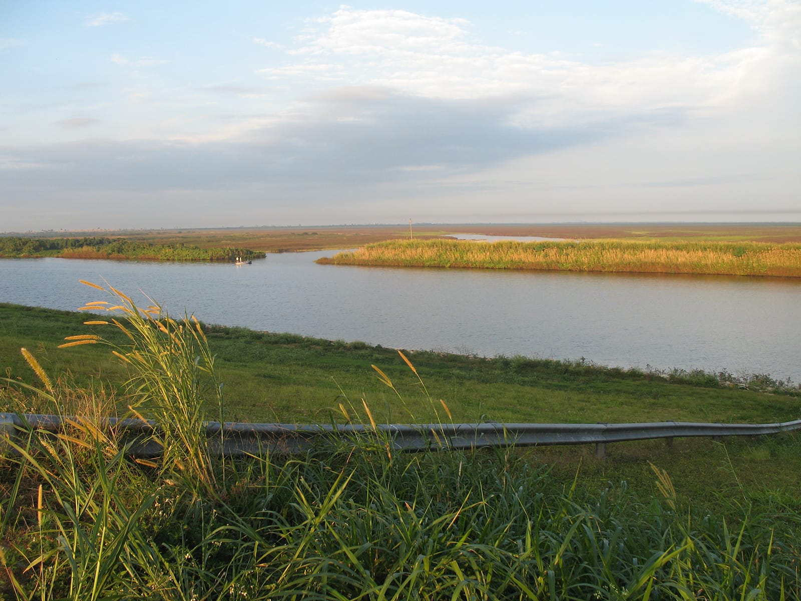
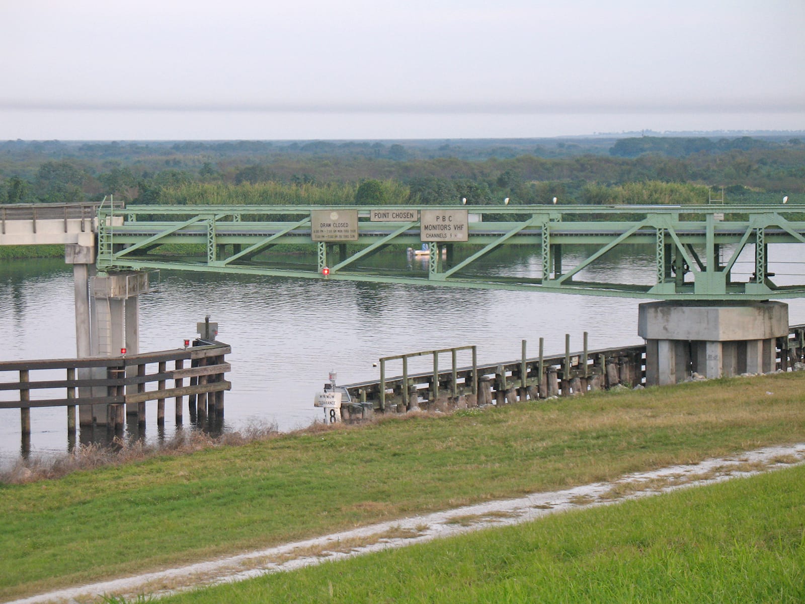
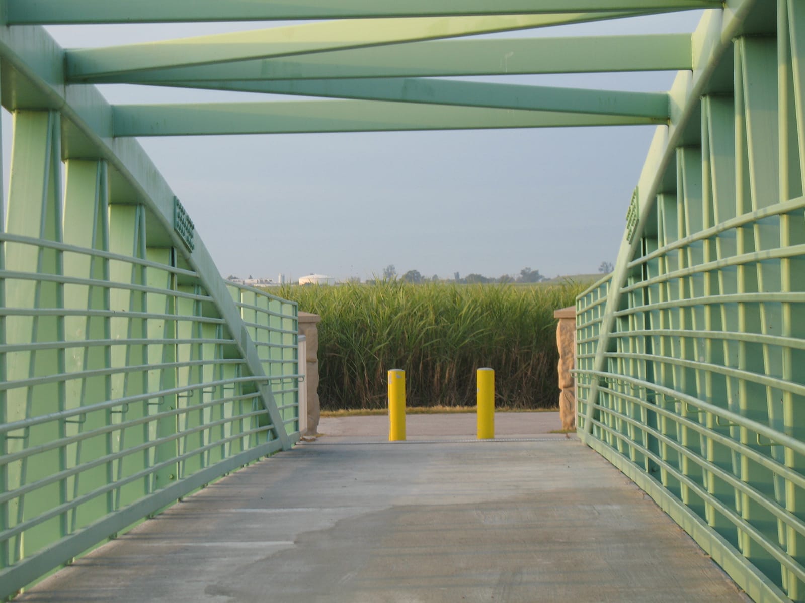
We discover a pair of new pedestrian bridges, a nice spot from which to watch birds and fishermen, and walk up to the Torrey Island drawbridge, a swinging bridge that swivels to let boat traffic past. There is no other like it in the state.
Slim’s Fish Camp is under major reconstruction still, post-hurricane damage from Wilma, and there is dredging going on for a new marina and talk of condos, which makes us sad.
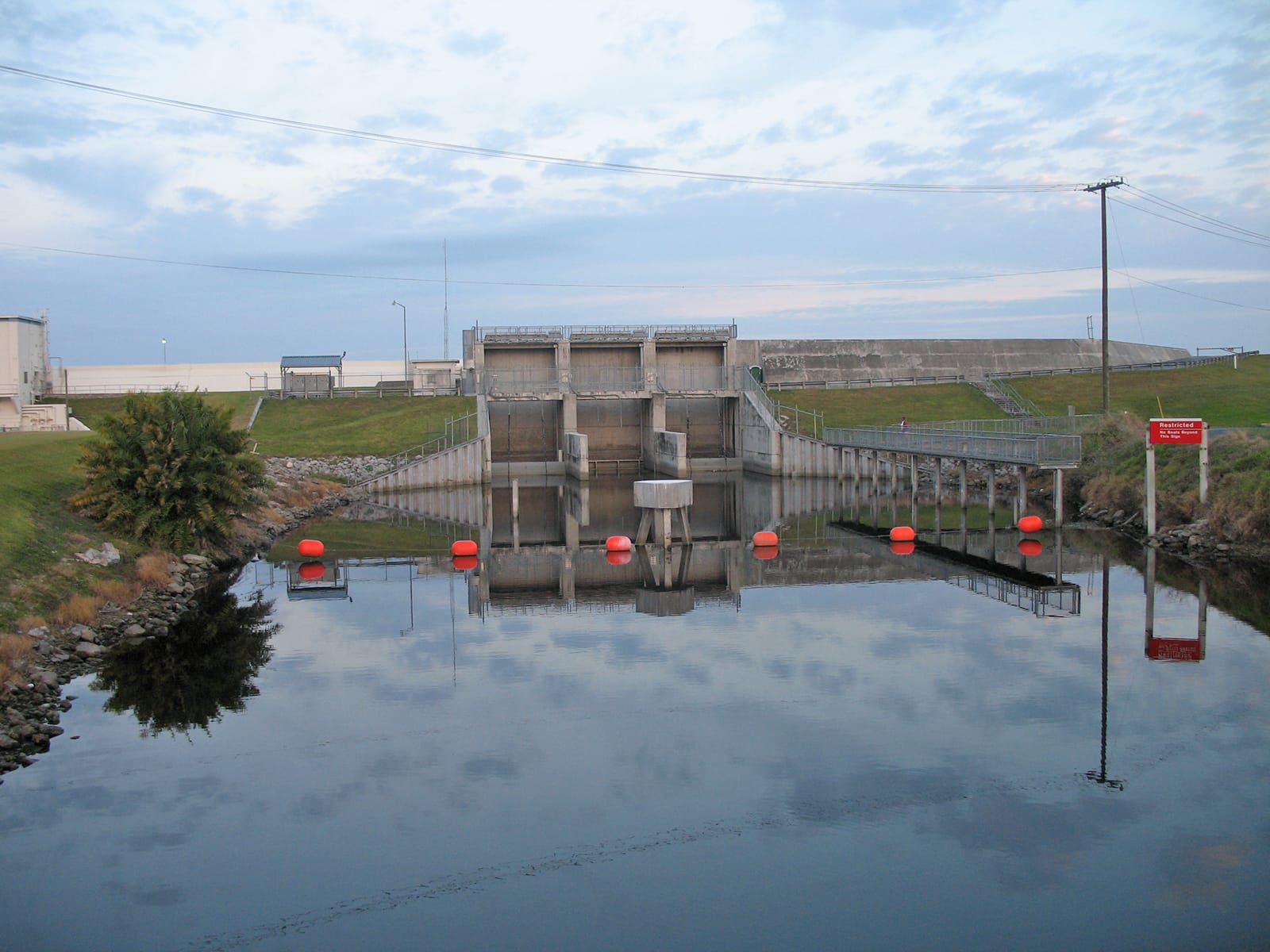
We return whence we came, remembering the meal at Devon’s Torrey Island Bistro - slow but good - as the trail skirts the edge of the golf course. A motorcycle zooms past, an illicit crossing by a man hell-bent on riding atop the dike, and I remember not long ago when this was unpaved, rugged, and simpler.
How things change in just five years.

Member discussion